New Brussels circulation plan starts August 16th
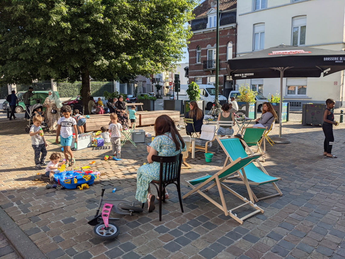
The new traffic plan in the center of Brussels comes into force on Tuesday, 16 August, as announced several months ago. The project, adopted by the city council on 21 February, aims to turn the Pentagon into a ‘traffic-calmed zone’. As a result, less transit traffic should make the center more livable, accounting for no less than 42% of total traffic.

The new circulation plan will reduce traffic in the busy and residential areas of the city center and give more space to pedestrians, cyclists, and public transport. The project is part of the regional Good Move Mobility Plan, which is based on a subdivision of neighborhoods into mobility districts or zones. There are 63 of them in total.

Concrete blocs to cordon off streets

The City of Brussels alone will have to create eight of them. Other municipalities also have begun to do this in certain parts of their territory, as in Schaerbeek and Anderlecht. However, the changes – using large concrete blocks to cordon off certain streets while awaiting a new redevelopment – are not always well received by residents.

A new car-free area will also be created. For example, a part of the Hoogstraat in the Marollen, the Zennestraat, and the Koningsstraat will become car-free. However, the new circulation plan does not immediately tackle typical bottlenecks, such as the Vlaamse Poort and de Grote Zavel/Grand Sablon, which is still an open-air car park.

It could instead be a pleasant square with, let’s say, a fountain. At the same time, there are various public underground car parks in the area.

Ten-year project

On a Capital Region scale, which supports the municipalities concerned, the creation of the different zones will extend over ten years. For example, in the Pentagon, the pedestrian zone on the central boulevards is the backbone of the future calm area. Overall, all modes of transport will still be possible outside this zone, but through traffic will be made very difficult.

Car traffic will still be possible if the center is the user’s destination, but it becomes more challenging to cross the city. Otherwise, as with circulation plans in other car-free cities, car traffic will be systematically directed toward the small Inner Ring Road, according to the principle of traffic loops, using one-way traffic and filtering (access reserved for residents, shopkeepers, etc.).

Cyclists will not be forgotten: their journeys from the north to the south of the Pentagon will be improved by creating a cycle lane between Van Artevelde and Laken streets. Through its new traffic plan, the City of Brussels is also tackling 12 Accident Concentration Zones so that the Pentagon becomes much safer for pedestrians.

Anyway, it looks like Waze or other navigation software will be working overtime for the next few weeks for a lot of Brussels residents with cars or passers-by who have to get through the city by car.

Comments

Ready to join the conversation?

You must be an active subscriber to leave a comment.

Subscribe Today

You Might Also Like